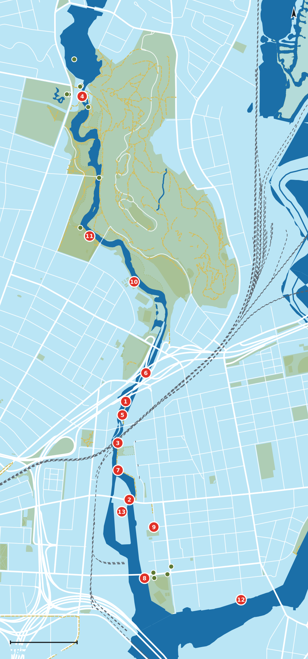
Dónde están
Los marcadores numerados son los diez letreros, contados desde la presa hasta la desembocadura. Los marcadores huecos están escritos pero en reserva. Los puntos verdes son letreros que ya existen.
El Museo Eli Whitney y la presa
El grupo más rico del río: una serie interpretativa completa sobre la armería, gestionada por el museo.
-
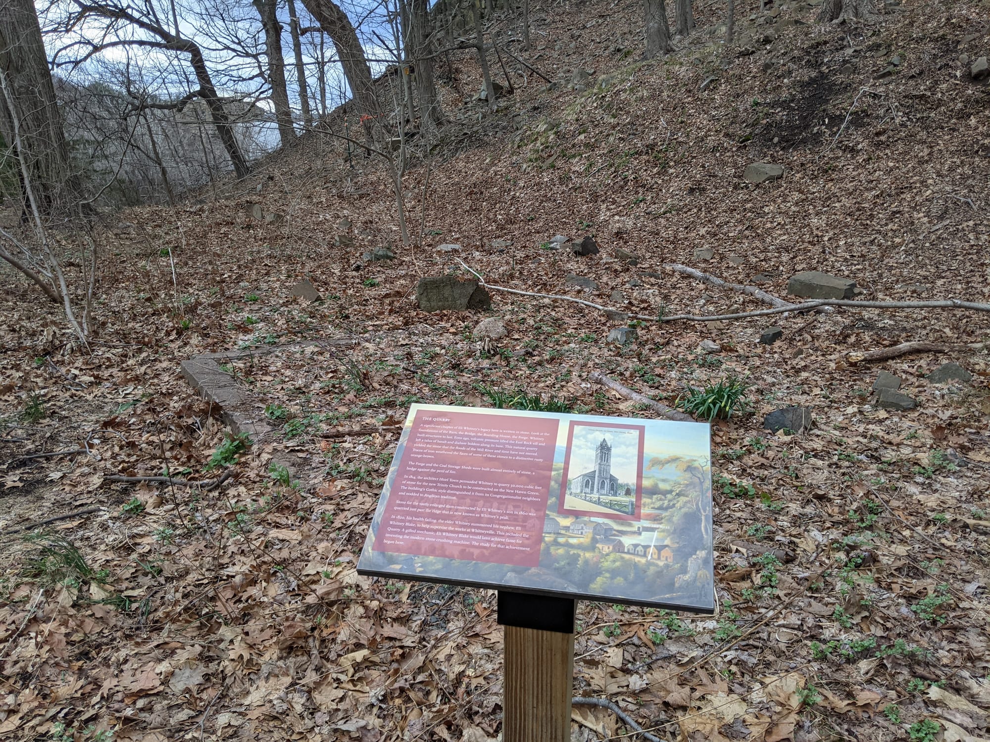
Fotografiado en abril de 2021 The Coal Shed
Charcoal for the armory forges came up the Mill River on a flat-bottomed scow and was carried up the hill to the shed. Whitney's 1823 inventory recorded 5,075 bushels.
-
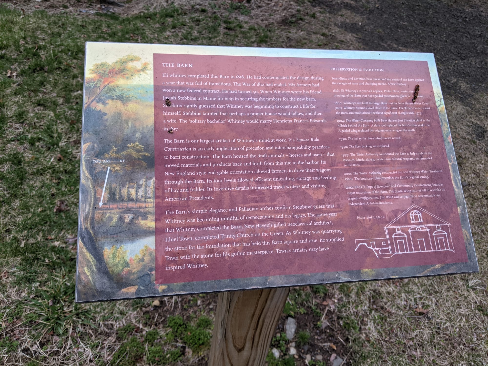
Fotografiado en abril de 2021 The Barn
Square rule construction as an early application of precision and interchangeable practice. It also records that while Whitney was quarrying the stone for this barn's foundation, he supplied Ithiel Town with the stone for Trinity Church on the Green.
-
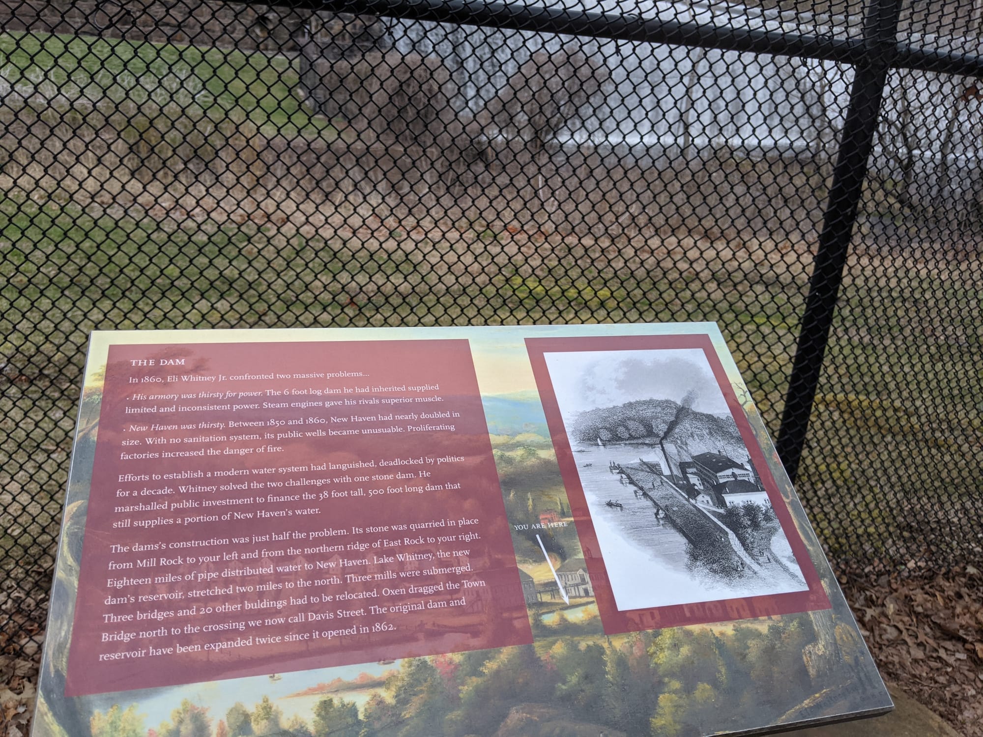
Fotografiado en abril de 2021 The Dam
The most useful sign on the river, and the one that corrects our own numbers. See the transcript.
Lo que dice
New Haven was thirsty. Between 1850 and 1860, New Haven had nearly doubled in size. With no sanitation system, its public wells became unusable. Proliferating factories increased the danger of fire. Efforts to establish a modern water system had languished, deadlocked by politics for a decade. Whitney solved the two challenges with one stone dam. He marshalled public investment to finance the 38 foot tall, 500 foot long dam that still supplies a portion of New Haven's water. The dam's construction was just half the problem. Its stone was quarried in place from Mill Rock to your left and from the northern ridge of East Rock to your right. Eighteen miles of pipe distributed water to New Haven. Lake Whitney, the new dam's reservoir, stretched two miles to the north. Three mills were submerged. Three bridges and 20 other buildings had to be relocated. Oxen dragged the Town Bridge north to the crossing we now call Davis Street. The original dam and reservoir have been expanded twice since it opened in 1862.
-
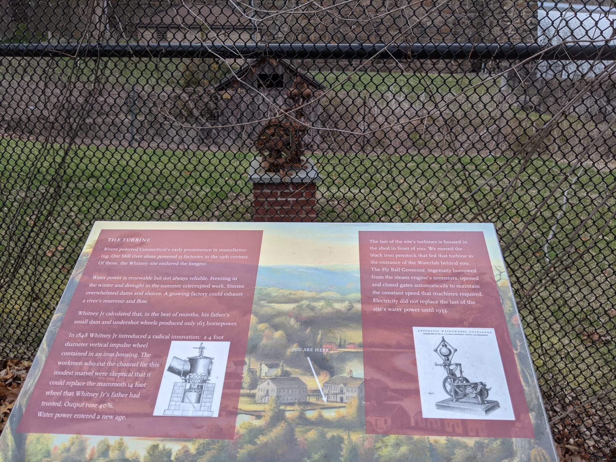
Fotografiado en abril de 2021 The Turbine
Water power at the armory, and the vertical wheel that replaced it.
-
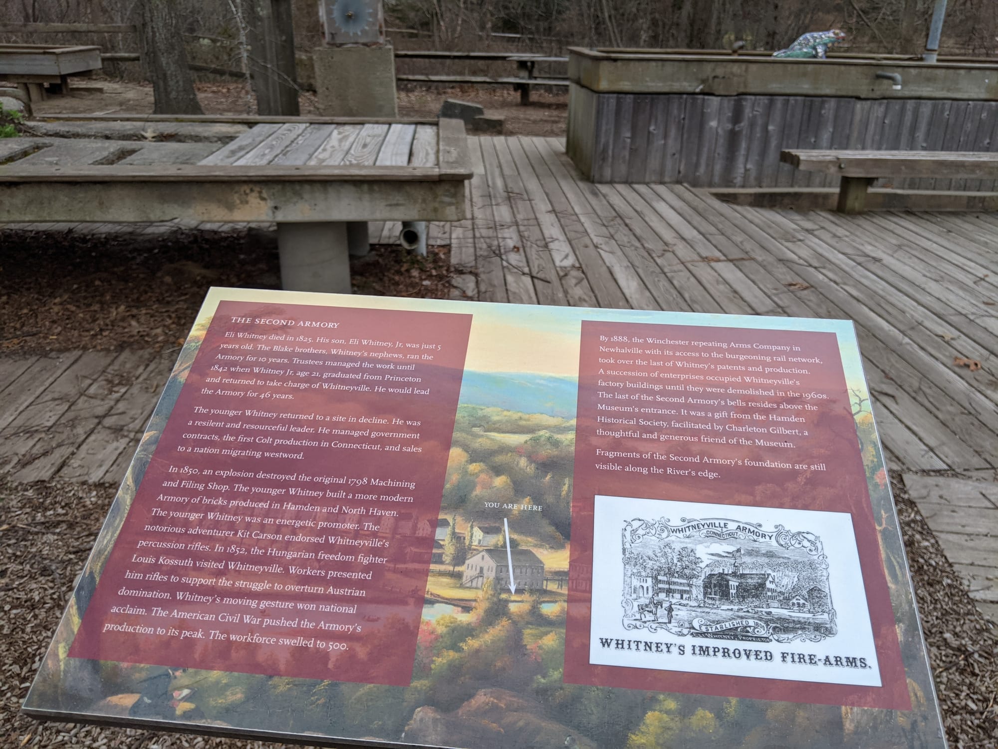
Fotografiado en abril de 2021 The Second Armory
Whitney's Improved Fire-Arms, and the armory's Civil War peak.
-
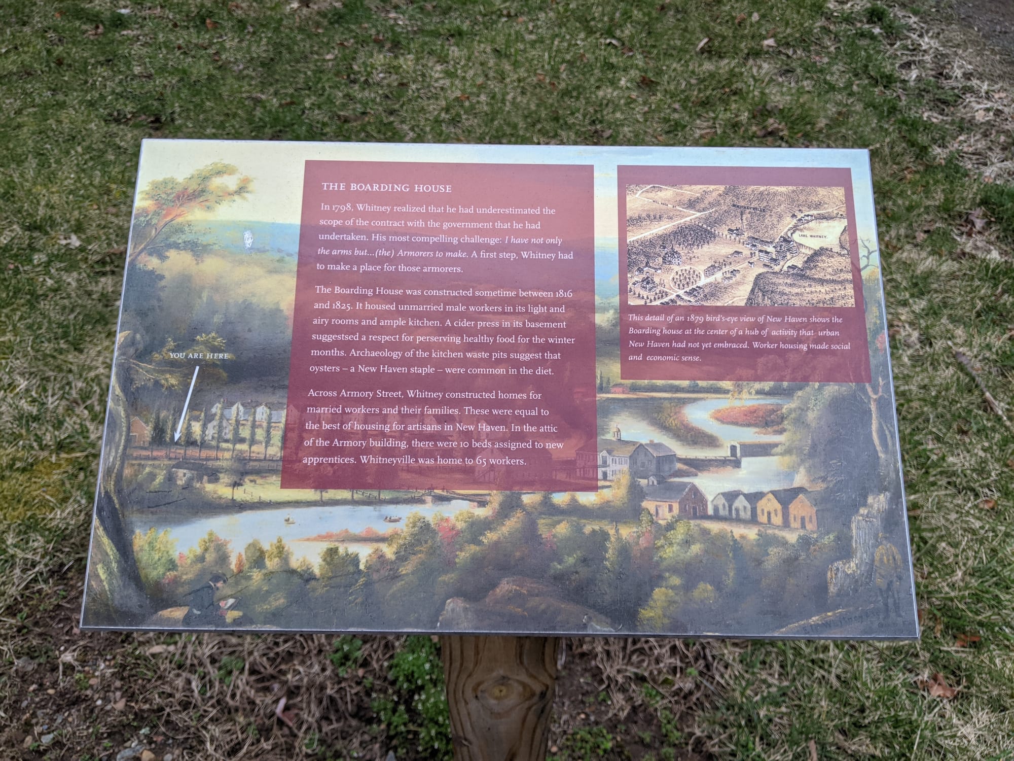
Fotografiado en abril de 2021 The Boarding House
Whitney had no trained gunsmiths, so he built housing and brought workers to the site. The boarding house is where they lived.
-
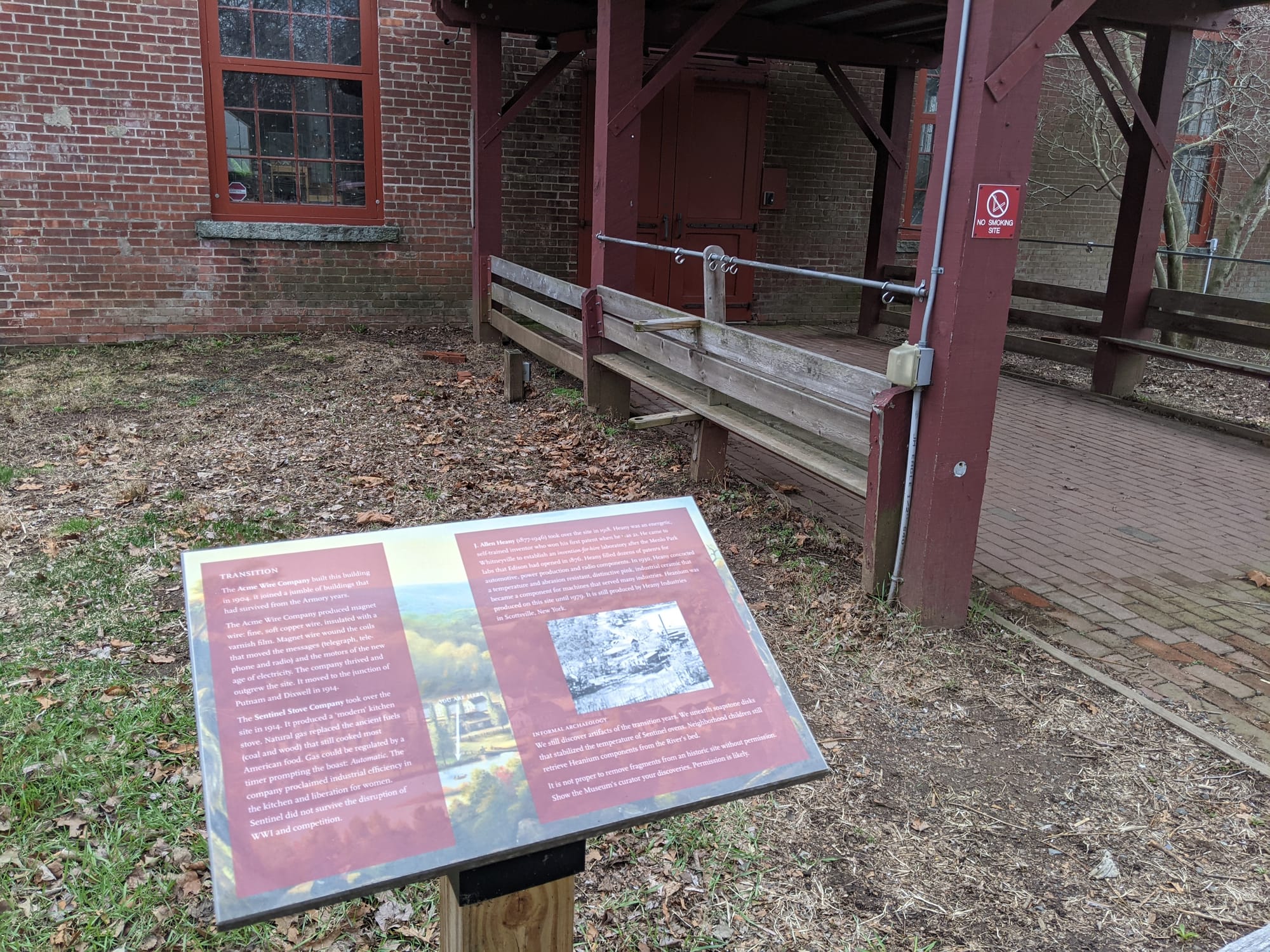
Fotografiado en abril de 2021 Transition
What came after the armory — the Acme Wire Company and the Sentinel Stove Company, and the industrial archaeology still in the ground.
-
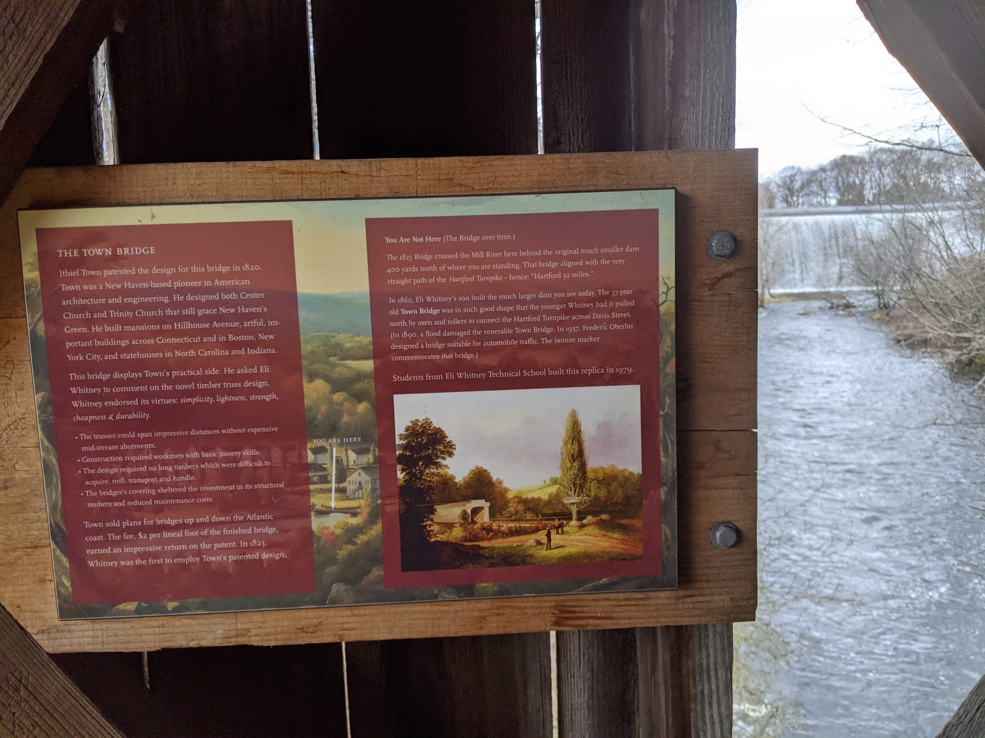
Fotografiado en abril de 2021 The Town Bridge
Ithiel Town patented this truss in 1820. Whitney endorsed it for its simplicity, lightness, strength, cheapness and durability. Students from Eli Whitney Technical School built the replica in 1979.
-
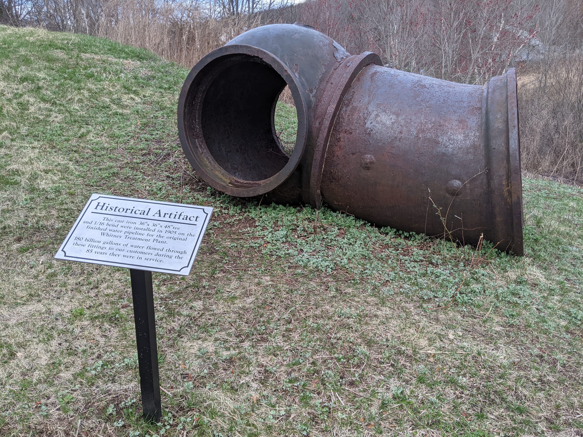
Fotografiado en abril de 2021 Historical Artifact — the pipe
A section of the water main that carried Lake Whitney into the city.
-
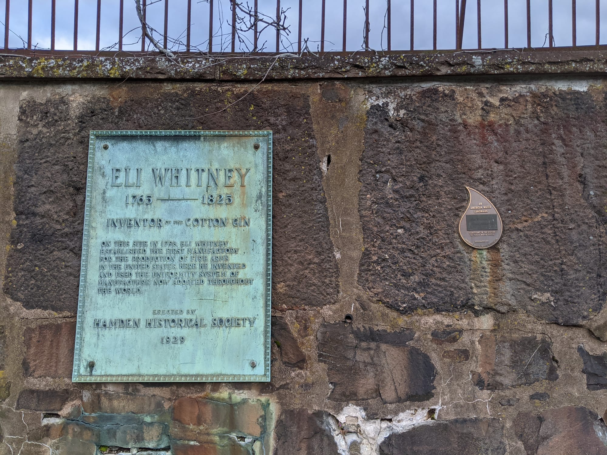
Fotografiado en abril de 2021 Eli Whitney 1765-1825 — bronze plaque
"Inventor of the Cotton Gin." Erected by the Hamden Historical Society in 1939.
El parque de East Rock
Sobre todo historia natural, y buena. Los letreros nuevos evitan deliberadamente duplicarlos.
-
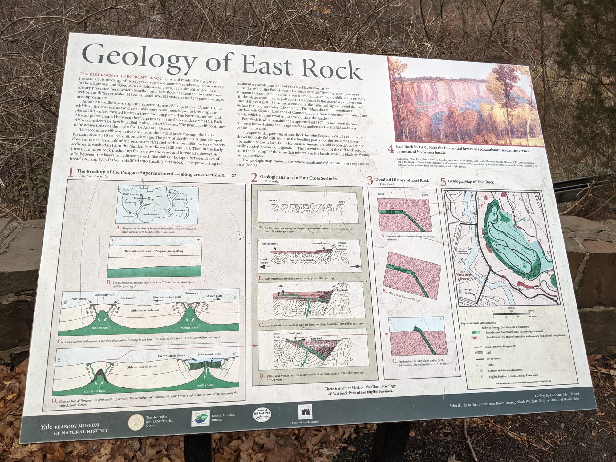
Fotografiado en abril de 2021 Geology of East Rock
Yale Peabody Museum. The breakup of Pangaea, the trap rock, and a geologic map of the ridge.
-
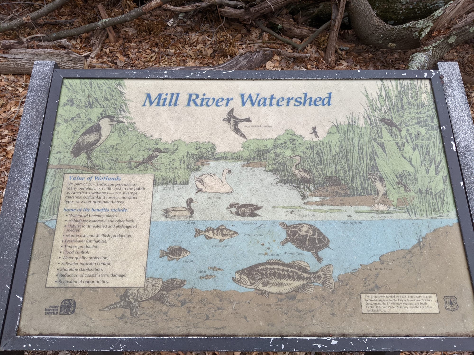
Fotografiado en abril de 2021 Mill River Watershed
The value of wetlands, with the birds and fish of the river. Covers much of what a nature sign would otherwise say.
-
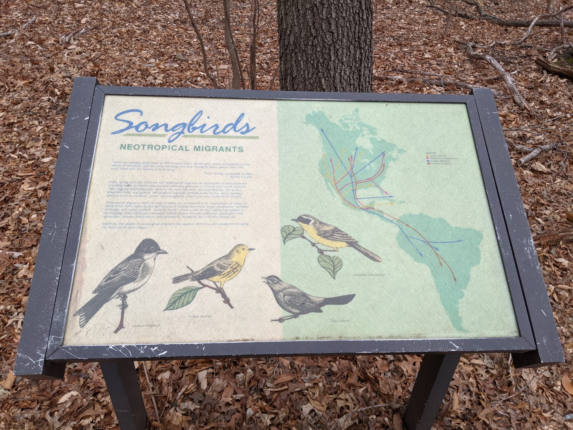
Fotografiado en abril de 2021 Songbirds: Neotropical Migrants
Migration routes between here and South America. Worth knowing about before commissioning any more bird illustrations.
-
Fotografiado en abril de 2021 East Rock Park map
Orientation map for the park and its trails.
El parque Criscuolo y Fair Haven
-
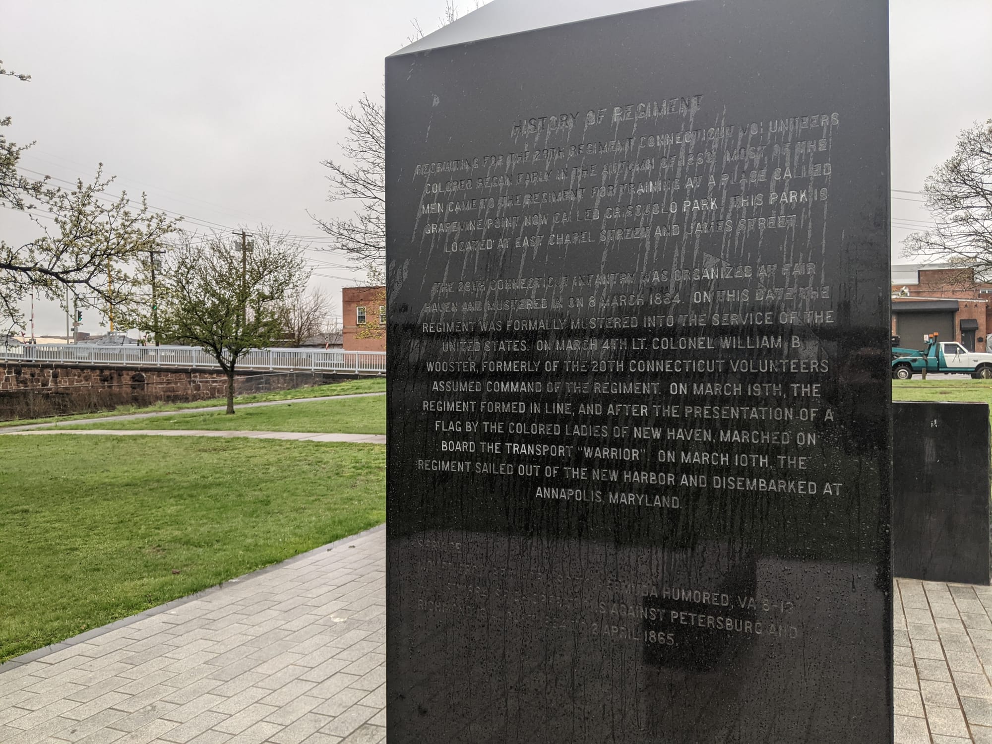
Fotografiado en abril de 2021 29th Connecticut Volunteer Infantry (Colored) monument
Black granite monoliths carrying the roster and the regiment's history, with a Freedom Trail marker. The narrative records that after the Colored Ladies of New Haven presented the regiment its flag, it marched aboard the transport Warrior on 19 March 1864 and sailed for Annapolis.
-
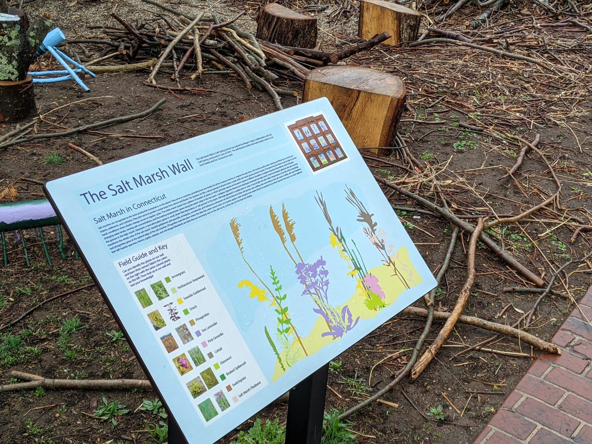
Fotografiado en abril de 2021 The Salt Marsh Wall
A field guide to salt marsh plants in Connecticut. Directly overlaps the species panels, and is the reason those pick different plants.
-
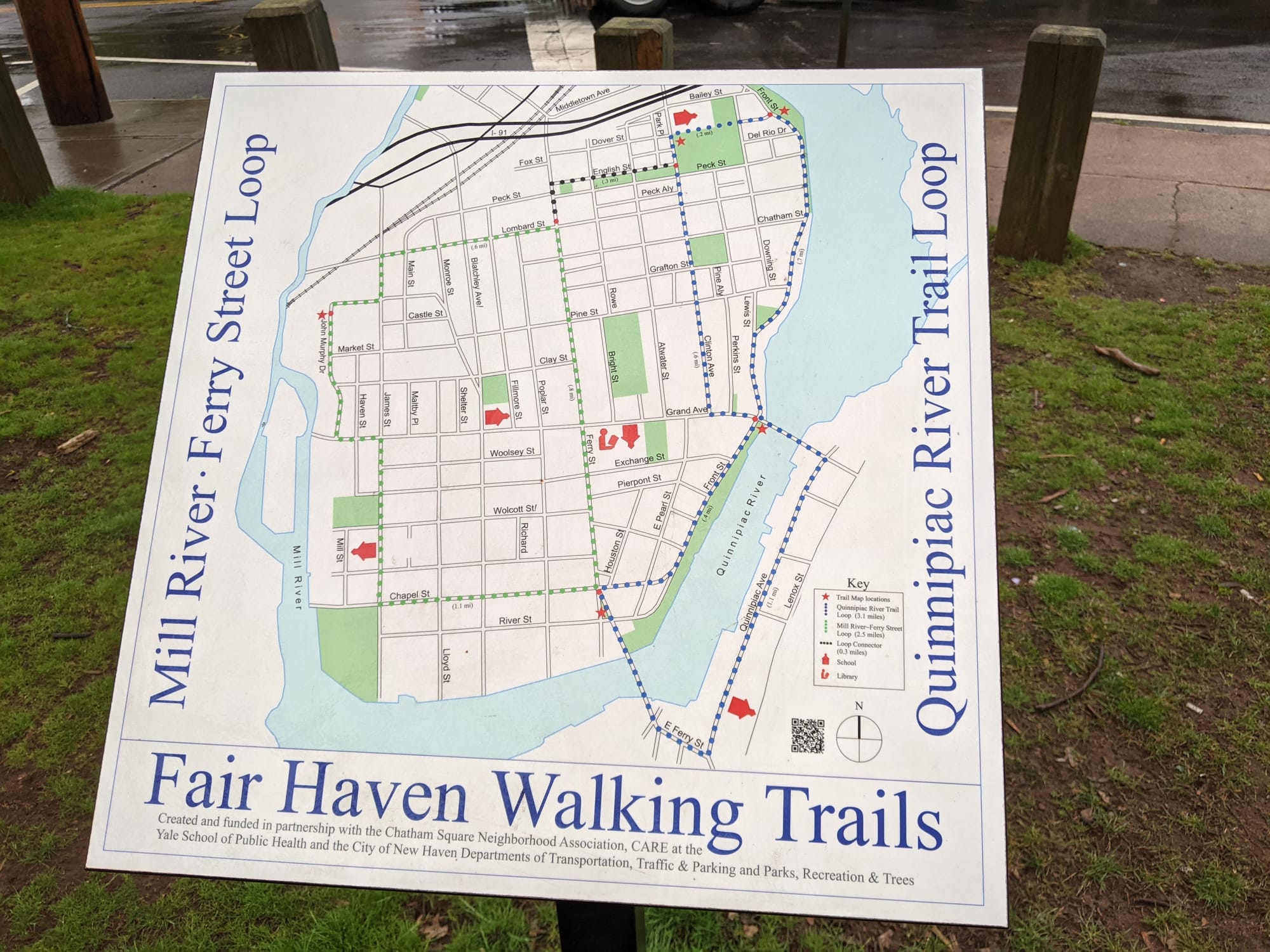
Fotografiado en abril de 2021 Fair Haven Walking Trails
The Mill River-Ferry Street Loop and the Quinnipiac River Trail Loop. Chatham Square Neighborhood Association, CARE at the Yale School of Public Health, and the City of New Haven.
-
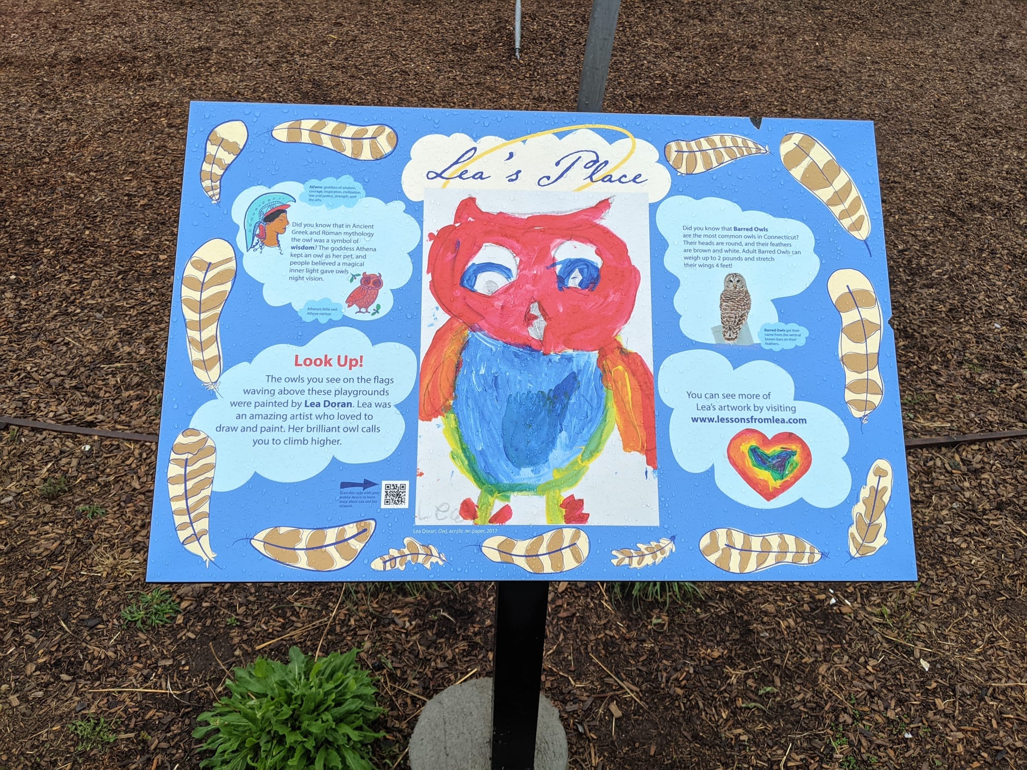
Fotografiado en abril de 2021 Lea's Place
A memorial playground, with owl artwork by Lea Doran on the flags above it.
18 letreros catalogados a partir de fotografías tomadas a lo largo del sendero en abril de 2021. Las posiciones proceden de la cámara. Si alguno ha desaparecido, o ha aparecido uno nuevo, debería corregirse aquí.